Google Trends Insights on Nigeria: – A Spatial Context on Security, Business, Economy, Food, and Living Sept25

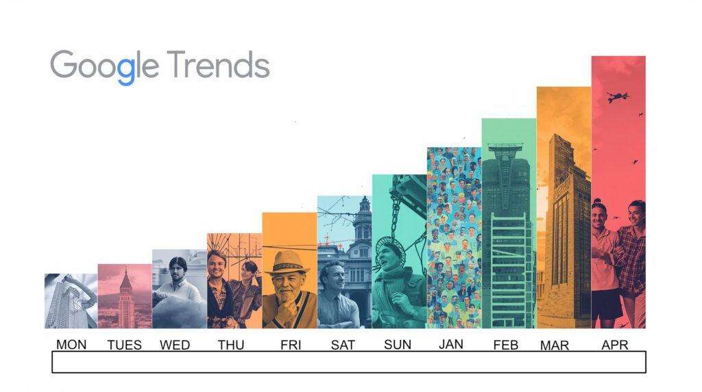
Google Trends Insights on Nigeria: – A Spatial Context on Security, Business, Economy, Food, and Living -Aug 2025 In today’s data-driven world, Google Trends provides valuable insights into what people are searching for online. We present a spatial view of what Nigerians are searching for online. By analyzing trends in security, business, economy, food, and living conditions, in […]
Google Trends Insights on Nigeria: – A Spatial Context on Security, Business, Economy, Food, and Living (Jul-Aug25)
Google Trends Insights on Nigeria: – A Spatial Context on Security, Business, Economy, Food, and Living -July 2025 In today’s data-driven world, Google Trends provides valuable insights into what people are searching for online. We present a spatial view of what Nigerians are searching for online. By analyzing trends in security, business, economy, food, and living conditions, in […]
Google Trends Insights on Nigeria: – A Spatial Context on Security, Business, Economy, Food, and Living
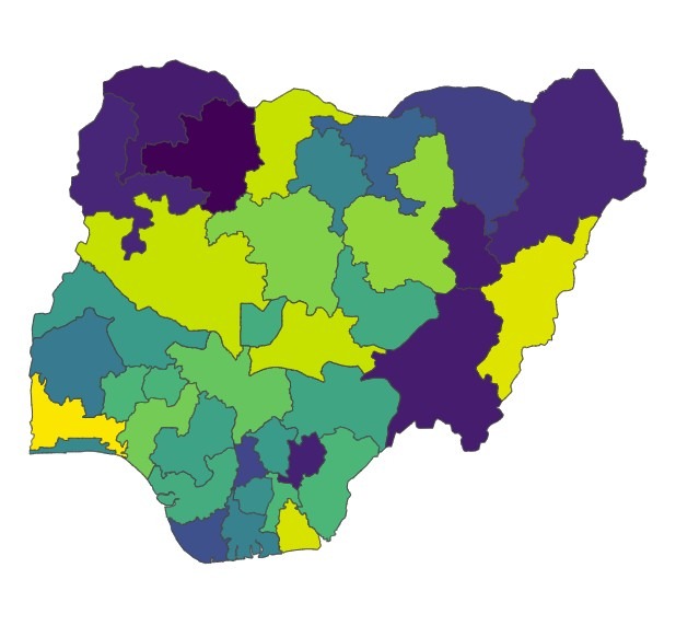
Google Trends Insights on Nigeria: – A Spatial Context on Security, Business, Economy, Food, and Living In today’s data-driven world, Google Trends provides valuable insights into what people are searching for online. We present a spatial view of what Nigerians are searching for online. By analyzing trends in security, business, economy, food, and living conditions, in the states […]
Flood Risk Map Using Weighted Multi-Criteria Analysis (MCA)
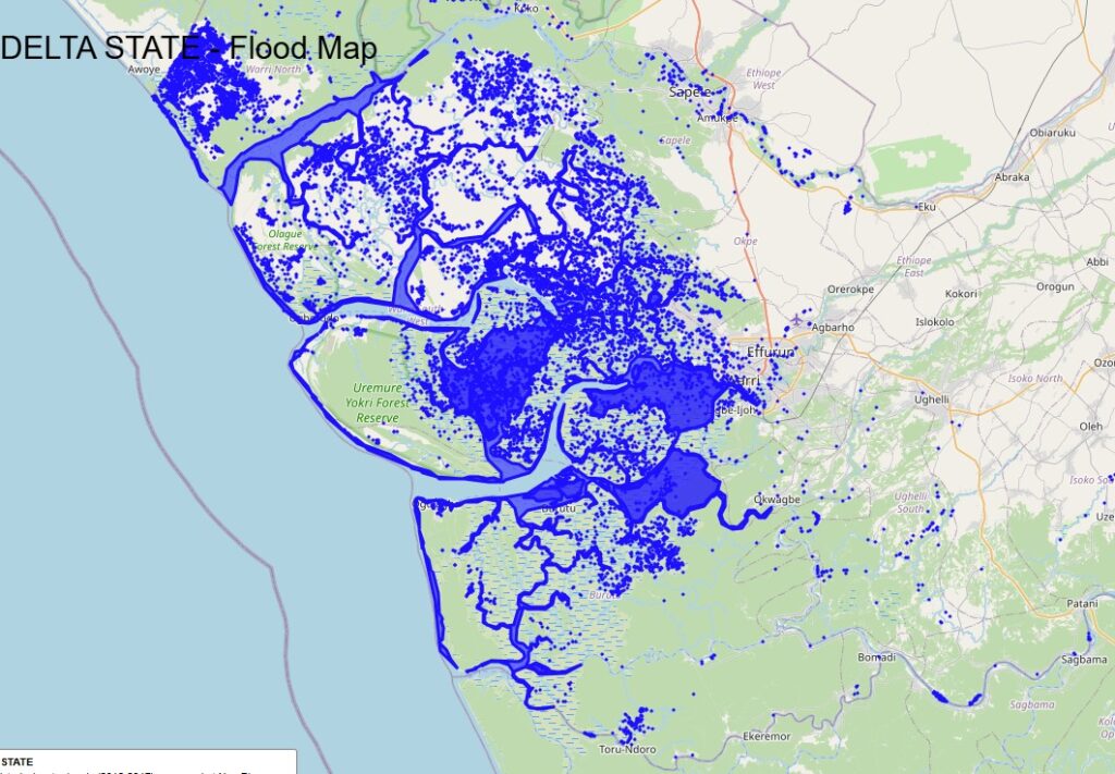
Flood Risk Map Using Weighted Multi-Criteria Analysis (MCA) Flooding is one of the most devastating natural disasters, affecting millions of people worldwide. To mitigate its impact, accurate flood risk assessment is crucial. One effective method for generating a flood risk map is Weighted Multi-Criteria Analysis (MCA) combined with fuzzy logic to handle uncertainty in spatial data. Flood inundation maps […]
Population Intelligence as Competitive Advantage
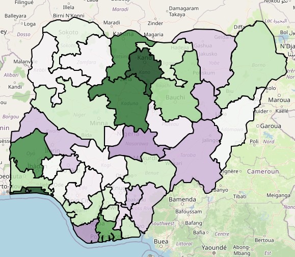
Mapping Nigeria’s Population Density: Leveraging Meta’s High-Resolution Data for Socio-Economic Insights Introduction Population data is the backbone of infrastructure planning, disaster response, business expansion, and socio-economic development. With Meta’s high-density population datasets, we can now analyze population distribution at an unprecedented resolution—down to ward, LGA, and state levels in Nigeria. But why does this matter? When combined with Terrain, Elevation, […]
A Foray into Building footprint as a Sustainable Revenue Source for Local Governments in Nigeria
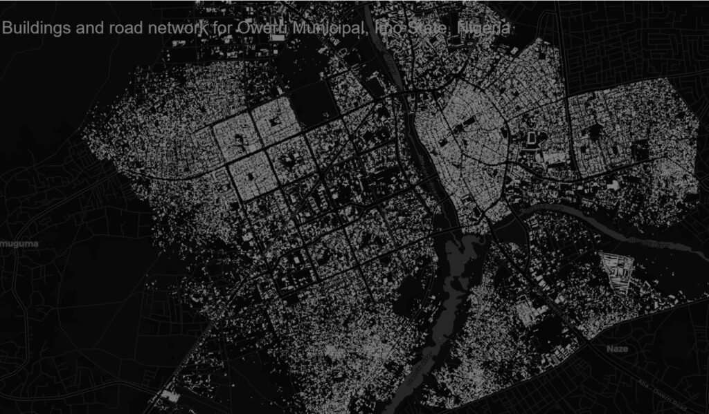
A Foray into Building footprint as a Sustainable Revenue Source for Local Governments in Nigeria Estimating taxation for an area using building footprints is a common approach in urban planning and revenue generation. Building footprints can provide valuable information such as the size, type, and location of structures, which can be used to estimate property […]
Geospatial Value Chain: Transforming Data into Action
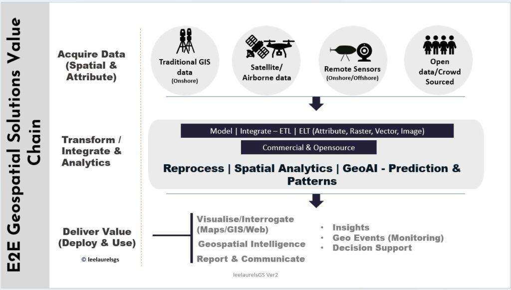
Unlocking the Geospatial Value Chain: Transforming Data into Actionable Insights In today’s data-driven world, geospatial technology has emerged as a game-changer across industries. From supporting business and operational decisions to urban planning, disaster management, agriculture and logistics, the geospatial value chain is revolutionizing how we collect, analyze, and utilize location-based data. But what exactly is […]